Before European contact, Indigenous peoples lived across a vast and diverse land we now call North America. From frozen tundra to dense forests, wide grasslands to dry deserts, geography shaped how people lived, traveled, ate, and built their communities. In this lesson, you will explore how different environments influenced Indigenous cultures and ways of life.
What You Will Learn
- How geography varies across North America and the major regions Indigenous peoples lived in
- How the environment influenced food, shelter, and daily life
- Why understanding geography helps us better understand Indigenous cultures
Major Geographic Regions
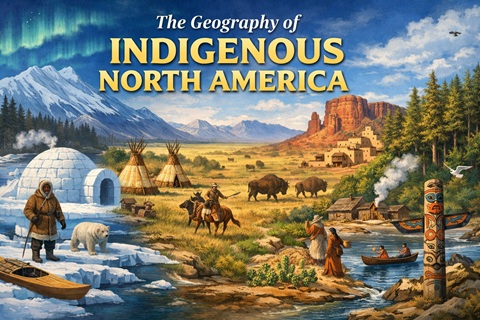
North America is made up of several distinct geographic regions, each with its own climate, landforms, and natural resources. These include the Arctic, Subarctic, Northwest Coast, Great Plains, Southwest, Eastern Woodlands, and Southeast. Each region offered different opportunities and challenges for the people who lived there.
For example, the Arctic is extremely cold and covered in ice for much of the year, while the Southwest is hot and dry with deserts and mesas. The Eastern Woodlands, on the other hand, are rich in forests, rivers, and fertile soil. Because of these differences, Indigenous groups developed unique ways of life based on where they lived.
How Geography Shaped Daily Life
The environment influenced nearly every aspect of daily life for Indigenous peoples. In colder regions like the Arctic, people relied heavily on hunting animals such as seals and caribou and built shelters like igloos to survive harsh winters. In forested areas, people used wood to build homes and tools and hunted animals like deer.
In the Great Plains, wide open grasslands made it easier to follow large herds of bison, which provided food, clothing, and shelter materials. In the Southwest, where water was scarce, people developed farming techniques such as irrigation to grow crops like corn, beans, and squash. Geography was not just a backdrop—it shaped survival and culture.
Movement, Trade, & Adaptation
Geography also influenced how people traveled and interacted with others. Rivers, lakes, and coastlines acted like highways, allowing trade and communication between groups. For example, canoes were commonly used in the Eastern Woodlands and along the Northwest Coast for travel and fishing.
Indigenous peoples adapted creatively to their environments over time. They learned how to use available resources wisely and sustainably. Trade networks connected different regions, allowing people to exchange goods like shells, tools, and food. These connections helped cultures grow and share ideas, even across great distances.
Conclusion
The geography of North America played a powerful role in shaping the lives of Indigenous peoples. Different environments led to different ways of living, from hunting and gathering to farming and trade. By understanding geography, we gain a deeper appreciation for the diversity, ingenuity, and resilience of Indigenous cultures across the continent.
Key Terms
- Geographic Region: An area of land that has common physical features, such as climate, landforms, and natural resources
- Adaptation: The process of changing or adjusting to fit the environment or conditions around you
Review Questions
- What are two major geographic regions in North America, and how are they different?
- How did geography influence the way Indigenous peoples found food or built homes?
- Why were rivers and waterways important for Indigenous communities?
Think Further
Extension Activity
Objective:
Students will be able to analyze how geographic features influenced Indigenous ways of life.
A. Writing Assignment
Imagine you are a young person living in one of North America’s geographic regions before European contact. Choose a region (such as the Great Plains, Arctic, or Eastern Woodlands) and write a one-page journal entry describing your daily life. Include the following details:
- how you get food
- what your home is like
- how geography affects your day
B. In-Class Project (Map + Writing Combination)
Using a blank map of North America, label and color five major geographic regions. Include symbols or drawings (such as animals, homes, or tools) to represent each region. Then, for each region, write 2–3 sentences explaining how geography influenced the way Indigenous people lived there.
From Indigenous North America to European Colonization
Indigenous North America Before 1500
The European Age of Exploration
From Revolution to the Eve of Civil War
The Early Republic
The Jacksonian Era
Westward Expansion
The Late 19th Century
The American Civil War
Reconstruction
The Gilded Age
The Early 20th Century
The Progressive Era
World War I
The Roaring 20s and the Great Depression
Modern America Emerges
World War II
The Cold War
Post Cold War America
Modern America
📘 Get A Free Unit Resource Pack
Save hours of prep time with our unit packs: ready-to-use lessons, activities, and assessments designed for middle school history.
25-30 Reproduceable Pages (including a DBQ!)
